Drone based LiDAR survey of Oil & Gas assets in the jungle of Gabon (80 000ha)
- Luke Wijnberg
- Oct 26, 2023
- 2 min read
In difficult to reach places in Africa, LiDAR surveys are often prohibitively expensive and can take a long time to perform. Delays due to poor weather, long ferries and bureaucratic processes make it a challenge to undertake accurate and critical information regarding terrain conditions. Drone and LiDAR technology has evolved significantly in the past few years allowing high resolution data to be made available over some of the largest and remotest areas.

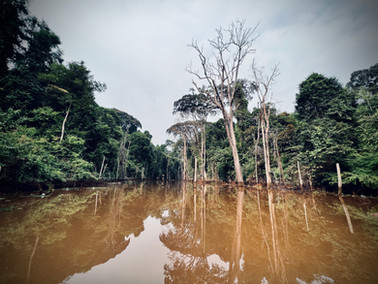


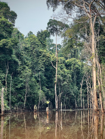

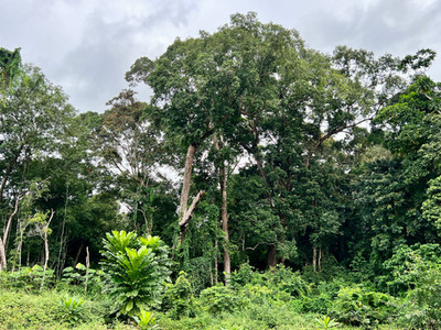
3DroneMapping was contracted by a prominent Oil and Gas producer in Gabon to perform a comprehensive survey of its assets and expansion projects. The requirements were to produce ground level DTM and high resolution orthomosaics over 80 000ha. The entire site is covered with dense rainforest jungle. This data would help engineers better plan for pipeline routes and road extensions between new extraction platforms.

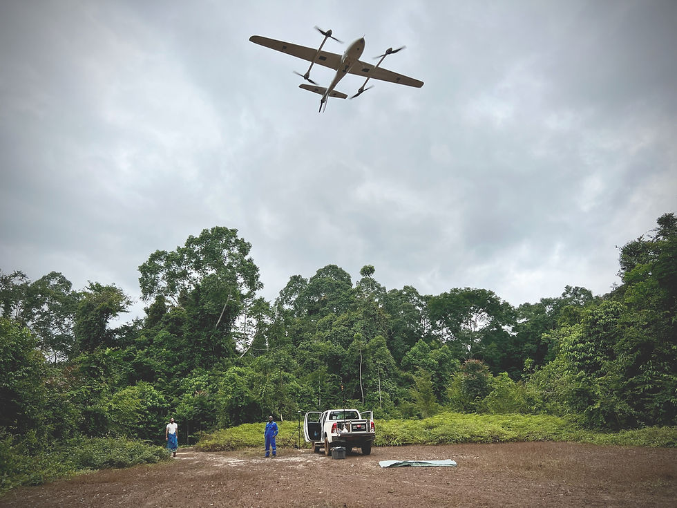
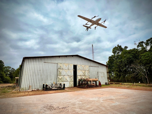
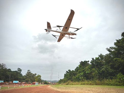
Using a specialized fixed wing VTOL (vertical take off and landing) drone, the project could be surveyed with an adapted LiDAR scanner. The 3.4m wingspan drone used for the project is specially modified for long range and heavy lift capabilities that can carry a 3kg scanner unit for up to 3 hours while travelling at approximately 80KPH. The LiDAR scanner was an essential part of the operation due to its ability to penetrate vegetation and measure ground levels.


A total of 5 215km was flown over 11 days to cover the 80 000ha site. This was done in very challenging conditions due to high levels of humidity, dust and other pollutants. Communications were particularly challenging as the dense jungle reduced radio broadcast power significantly. A total of 5TB of raw data was captured and processed into useful DTM and orthomosaic products in under 3 weeks.


