Drone mapping 375km railway in Ethiopia
- Luke Wijnberg
- Aug 30, 2016
- 2 min read
3DroneMapping in partnership with a leading mapping, geospatial and photogrammetry survey company in Turkey, has together begun a 10 month drone mapping project in Eastern Ethiopia. This project monitors and extracts vital information for the construction of a $1.8 billion railway that connects Awash in the South to Woldia/Hara Gebeya in the North.
The project should be completed in 2019. In addition to the length of the main line which is approximately 389 kms, station lines are 18 kms and the maintenance lines are 4 kms. The length of the total line is approximately 447 kms, besides the main railway line and depots.


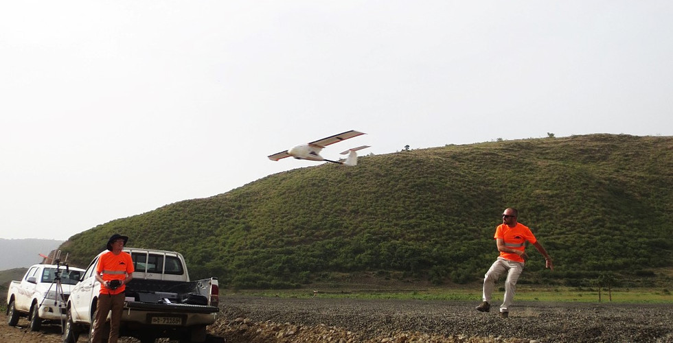
Under the partnership, 3DroneMapping will be providing air services to the Turkish survey company. They in turn will interpret the data generated to issue volumetric, progress and planning reports for the engineering firm.
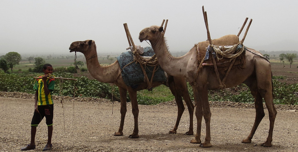
The flight planning and operational work is handled by 3DroneMapping as well as the image geolocation and data verification. Flight planning for this part of Africa is very complicated with much of the railway route in the North winding its way through mountains, valleys and plateaus. The elevation range of the route is from 700m - 3000m ASL, making takeoff, cruising and climbing a challenge for any RPAS. Communications to are very limited with the large mountains and ridges blocking signals from the aircraft to the ground control station. The extreme differences in the terrain slopes also required the aircraft to "follow" the terrain at a predetermined offset so as to obtain the correct image overlaps and required resolution.


Flight planning in the South was much easier with long straight and flat flight lines. Very strong winds aloft are hard to predict at this elevation and constant changes to the aircraft flight characteristics needed to be made while in flight. Extreme temperatures were experienced with daily averages exceeding 37°c and fine penetrating dust made ground conditions very challenging.
As the project continues, it will be interesting to see the data amassed and how it becomes the set standard for large scale construction projects to accurately determine their progress and quantities.